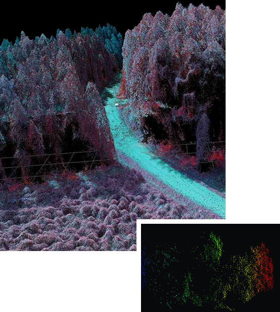
Goldstar Mapping SR is our flagship model, wherein our proprietary LiDAR is mounted on a specially designed winged UAV for high endurance, low flights, in depth mapping and to operate in all altitudes and in covert operations also. The UAV is loaded with niche proprietary equipment and software from our partners, which gives optimum mapping images, accurate coordinates, underground structures and is also capable of night surveillance.
Our global technology partners and niche expertise enable us to offer advanced mapping solutions, including accurate LIDAR mapping. We are among the few Indian companies with complete domain expertise in this field.
AMBIENT OPERATING TEMPERATURE
| Minimum Expected Temperature |
15° F (-10°C) standard |
| Maximum Expected Temperature |
122° F (50°C) |
